Open Field Capture
Use Enroofe’s live camera. Gallery uploads do not receive a location-recorded evidence label.
 ENROOFEPOLARISE ROUTE · SENTINUITY LABS
Evidence atlas ↗
ENROOFEPOLARISE ROUTE · SENTINUITY LABS
Evidence atlas ↗
Enroofe turns public-land evidence into calmer walk context: authoritative access rules where they exist, source-linked records where they are relevant, community field captures after review, and a visible unknown everywhere else.
Visibility, not a safety certificate. No public record located does not mean untreated, chemical-free or safe. A photograph can document visible conditions; it does not establish their cause.
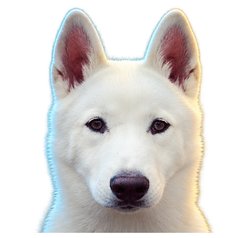
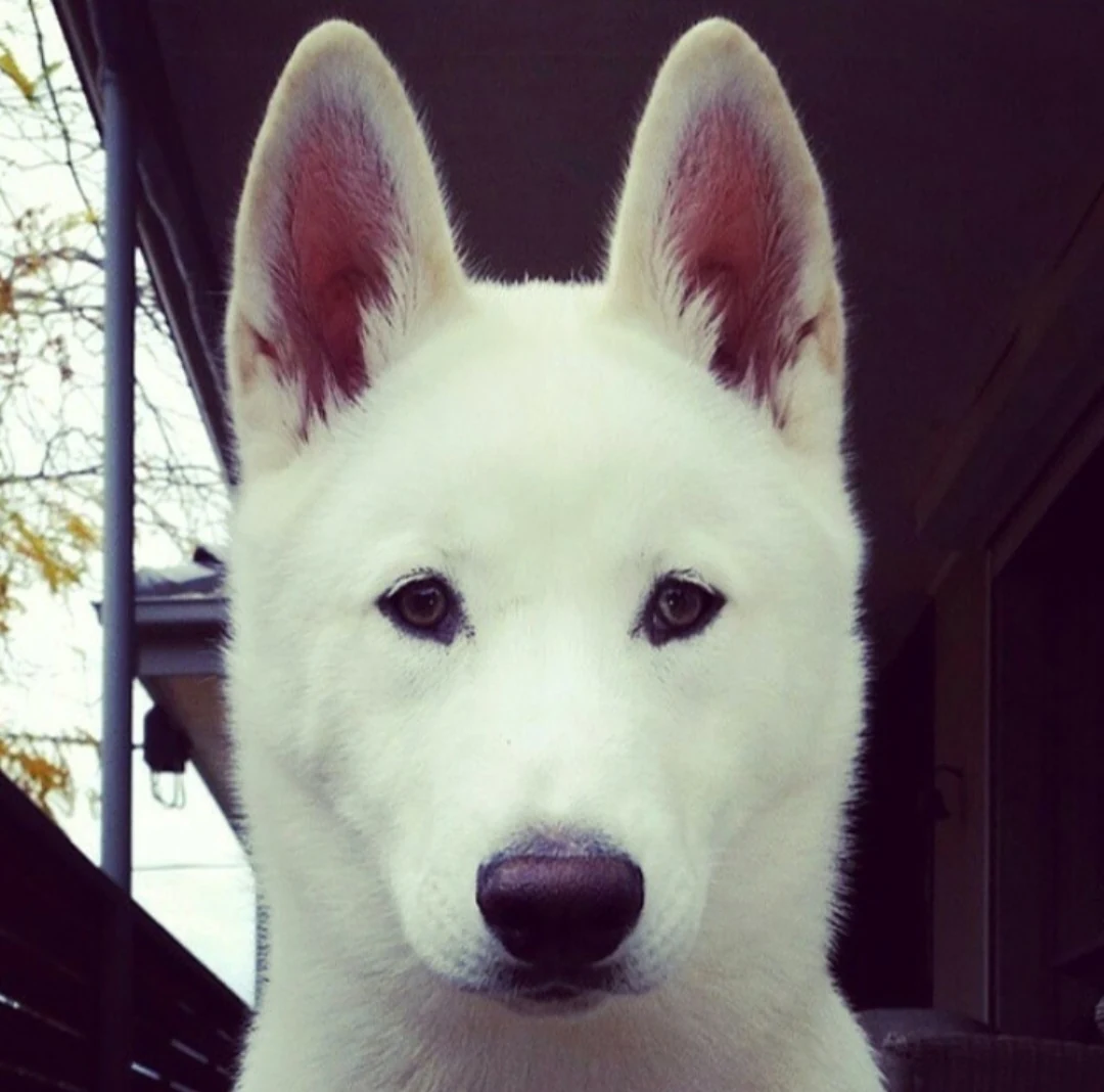
Enroofe grew from lived experience of losing confidence in a place that was meant to feel safe, while caring for Polar and trying to obtain clear, timely information about what was happening on public land.
Polar is not an authority badge. He is the reason the product insists on visibility, provenance and honest uncertainty. The visual metaphor is simple: a white dog moving out of darkness, with an aqua route lighting ahead and a restrained gold edge marking the human value behind the data.
POLARISE ROUTE is the action Enroofe owns. It means apply your selected filters to available route context — never “certify this route safe”.
For community photos, the strongest public wording is deliberately narrow: “Captured through Enroofe Field Capture at an approximate location, with device location recorded at capture time and reviewed before publication.”
That is different from saying an image proves a chemical was used, proves why vegetation changed, or proves who was responsible. Those conclusions need their own evidence.
Field Capture is designed to reward useful coverage rather than alarming claims. Capture what is publicly visible, keep people out of frame, and let review separate observation from inference.
Use Enroofe’s live camera. Gallery uploads do not receive a location-recorded evidence label.
Start wide: path, reserve sign, verge or edge. A reviewer should understand where the detail sits.
Vegetation, mulch, mowing, signage, visible dye or wet foliage can be described. Cause remains separate.
Avoid faces, number plates, children and private property. Do not photograph workers as targets.
The device supplies high-accuracy fixes before and after capture. Exact coordinates stay private.
Submissions enter a private moderation queue. Nothing community-supplied auto-publishes.
A location-recorded field set uses two or three live-camera frames: context, edge, and detail. Enroofe binds the bytes to a one-time server challenge, records device-location continuity and a SHA-256 hash, then keeps the exact location private for review.
Manager roles, official records, source dates, corrections and explicit unknowns belong in the underlying civic evidence layer. Enroofe translates that context for the walk without softening the provenance rules.
Field Capture needs precise location temporarily because location is part of the evidence question. Enroofe therefore separates private validation data from the public record: exact coordinates are encrypted, public coordinates are rounded, raw IP addresses are not stored, and community media stays private until review.
No web workflow can make that absolute claim. The beta can record a live camera capture, high-accuracy device location before and after capture, a one-time server challenge, image hashes and review. Public wording is “location-recorded capture”, not “location proven”. Native app attestation can make tampering harder but still forms part of a risk assessment, not absolute proof.
No. A photo can show visible vegetation condition, signage, dye, wet foliage, mowing or edge conditions. Attribution to a product, treatment event or responsible body requires separate evidence such as an official record or other corroboration.
No. Route context can help you make a more informed decision, but absence of a record is not evidence that no treatment occurred or that a location is safe for every person or animal.
The intended reward is useful coverage — under-mapped public areas, clear context, revisits of stale locations and independent corroboration — not negative allegations. Rewards are not live in this release.
POLARISE THE MAPPeople. Places. Pets. Planet. Capture responsibly, keep claims proportional to evidence, and leave the next person with more visibility than you had.